

The Maps
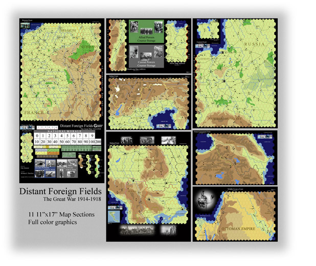
Included in the game are eleven 11x17 inch map sheets divided into seven maps. These seven maps do not need to be placed together in any order, allowing for wargamers with even the smallest of tables to play the entire war. These seven maps are the Western Front, the Eastern Front, the Balkan Front, the Trans-Caucasian Front, the Middle-Eastern Front, the Italian Front, and the Germany Map. The maps are designed to allow the terrain dictate the game and not the game to dictate terrain. River-valleys, mountain ranges, forests, plains, and rail lines are presented geographically accurate to give the viewer the feel of the true nature of the terrain. All the important towns and cities are presented in the pain-stakingly designed map. The scale ranges from 15 to 45 kilometres per hex depending on the map and the maps, not the units, dictate movement ranges. In addition, real black-and-white photos from the First World War are included on the map to give the real feeling of the conflict.
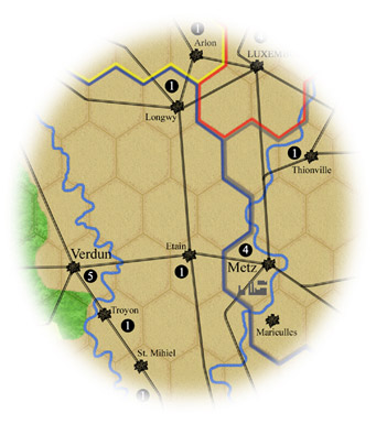
Facing Fortresses: Verdun and Metz

East Prussia

The Somme
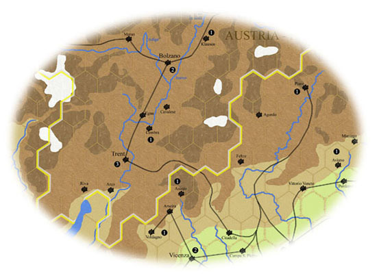
The Northern Italian Front
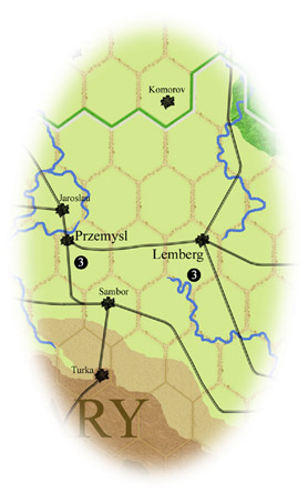
Przemysl and Lemberg
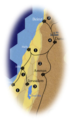
The Near East: Palestine
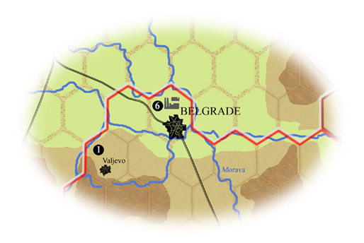
Belgrade, Serbia